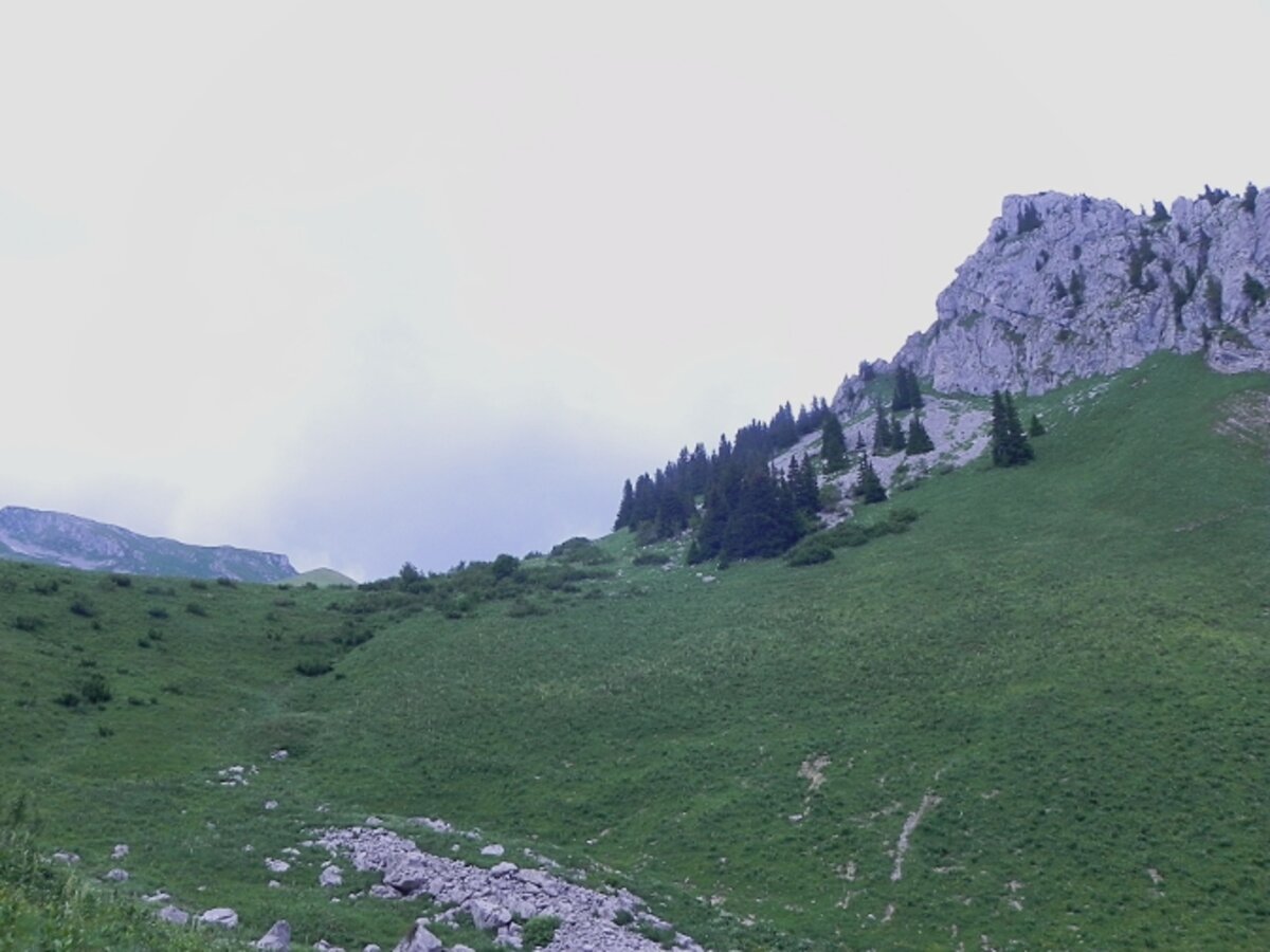
All year round. Summit accessible by hiking only, generally from mid-June to mid-September, dates which may change depending on weather conditions. Check with tourist offices or Mountain Guides before any access attempt.
In the North-East, a path climbs slightly then crosses level to the north until the Vernaz pass.
In the south, a path comes from the chalets of Resse, which can be reached by two routes coming from the bottom of the valley and joining the clearing of Plan de Resse.
On the east side, a more or less level path comes from the nearby Serpentin pass, located at the top of the Arvouin valley, above the lake and homonymous chalets.
| Label |
|---|
| Free |


