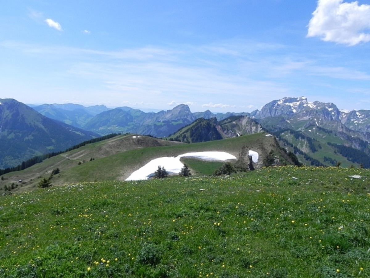
All year round. Summit accessible by hiking only, generally from mid-June to mid-September, dates which may change depending on weather conditions. Check with tourist offices or Mountain Guides before any access attempt.
South-west side it is a wide track coming from the chalets of Mouët. This track descends in twists to the northeast on the Swiss side towards Plan du Croix.
From the west descends the fairly steep path that ends the ridges of Mouët on this side.
To the east, several routes, either on a path on the ridge, or further down by a wide track, head towards the Tête du Tronchet and the Tour de Don.
| Label |
|---|
| Free |


